blah blah blah
Cobb Hill
Length: 3.1 miles out-and-backDifficulty (click for info): Easy
Elevation Gain: 680 feet (+60 feet on return)
Rating (click for info): 4/10
Elevation: 1913'
Prominence: 283'
Driving Directions:
Trailhead and parking area are on Jaquith Road in Hancock, NH (summit is in Harrisville). From Rt. 137, 2.6 miles south of the junction with Rt. 123 in the center of Hancock and 4.3 miles north of Rt. 101, turn west onto Jaquith Road. The road surface becomes dirt, and after 1.4 miles, reach a four-way junction and drive straight across. The road becomes rougher, and after 0.3 miles, look for the parking area on the right side of the road. Click here for a Google map.
Trail map
About the Hike:
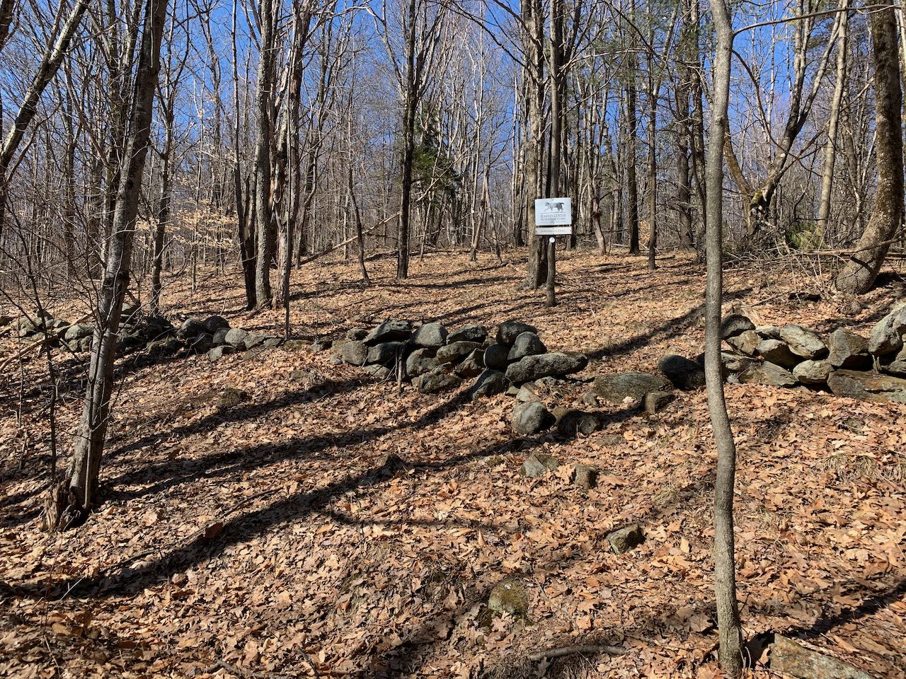
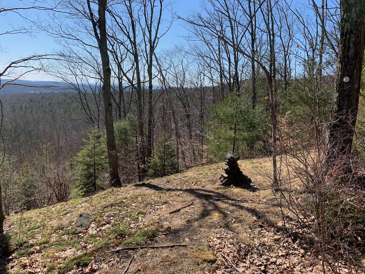
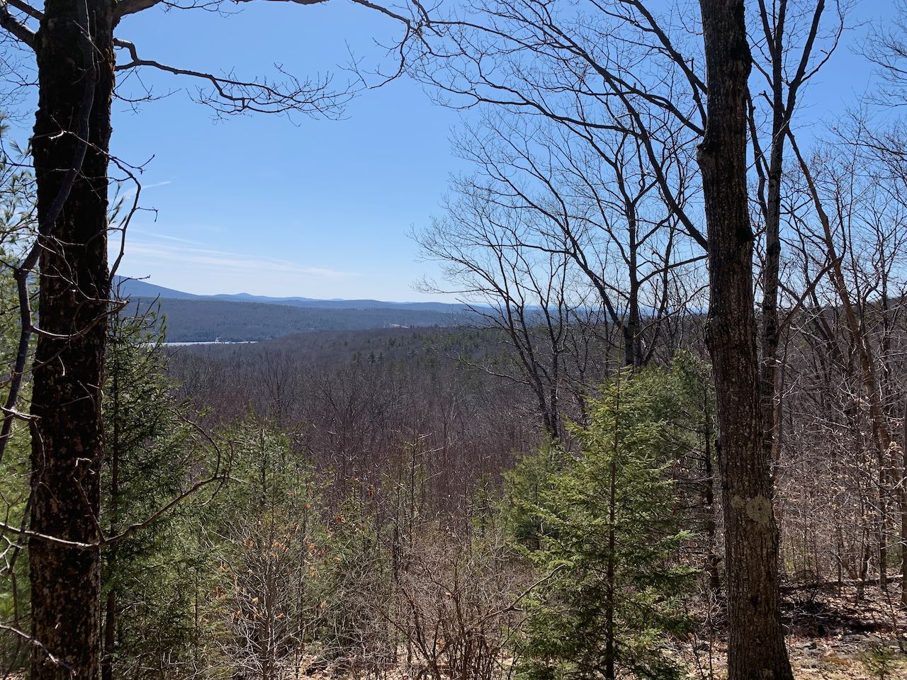
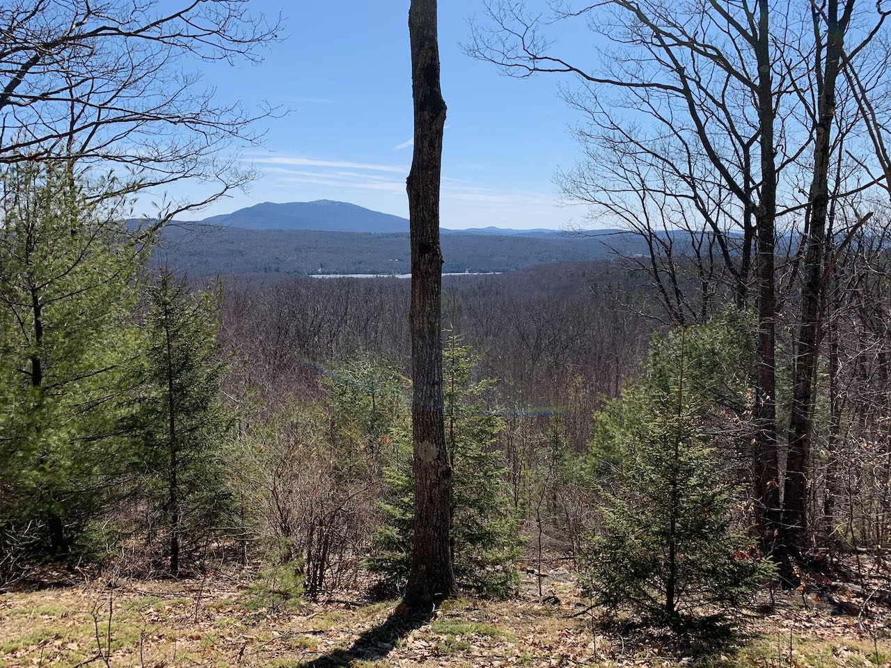
Local conservation organization The Harris Center oversees a large tract of land spanning several towns in the central Monadnock Region and encompassing a few rolling hills with a well-cared-for network of hiking trails. Most notable are Skatutakee and Thumb Mountains with their picturesque views of Mt. Monadnock across the countryside. A quicker and quieter option just a couple miles away is Cobb Hill. It's an easier hike overall, with gentle grades mostly on old roads leading to a nice cleared viewpoint of Monadnock. Though the viewpoint is not as high or open as the one from Thumb Mountain, it can be a more secluded spot and takes less effort to get to. The hillside vista is best in leaf-off season.
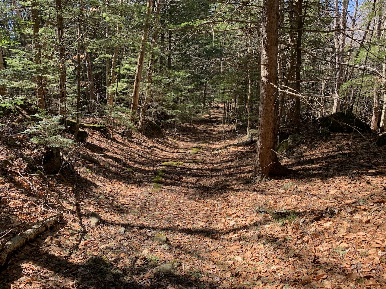
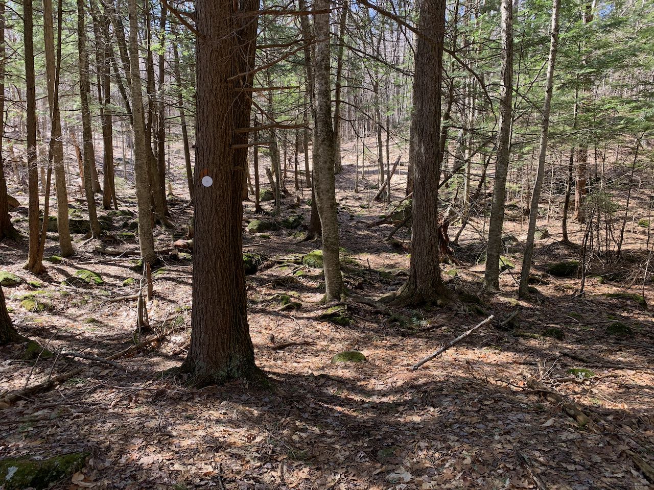
Start your hike by continuing on foot further down Jaquith Road. In 0.3 miles, you'll pass the last house on road and walk through the wooden gate at the end of the driveable portion (no parking here). Now on a woods road, walk uphill for a bit and then downhill as the road descends to pass a little marsh in another 0.3 miles. Soon crossing a stream, take a left turn off the road onto the Cobb Hill Trail at a blue sign after a quarter mile. Follow the trail, marked with white circles, through an open deciduous forest, soon climbing uphill easily. Some stone walls criss-cross the forest, evidencing its past history as farmland. After half a mile, turn left as the trail joins a road crossing the hillside higher up. After barely 0.1 miles, follow the signs and bear right off the road, crossing another stone wall. The trail climbs a bit higher, then levels off and ends a small grassy clearing after 0.1 miles. Here you'll enjoy a nice view past the lone oak toward Mt. Monadnock. In the valley below is Skatutakee Lake, making for a nice picture of the lake and mountain. On the left side of the lake is the low ridge of Beech Hill, while off to the right in the distance is Little Monadnock Mountain.
Printable directions page